The Parkway is a slow, gorgeous drive that suits RVs better than most scenic roads, as long as you check tunnel heights, expect no hookups in the national park campgrounds and watch the Helene closures. Virginia has one tunnel; North Carolina has 25.
Best months: May–October (campgrounds close from late October)Rules checked October 14, 2026How to use this guide
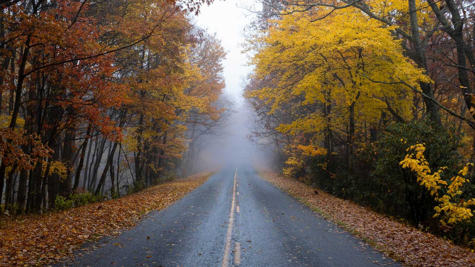
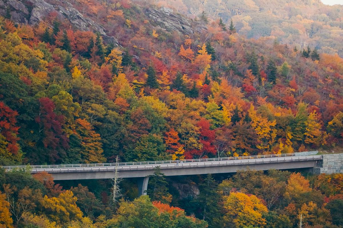
An autumn road along the Blue Ridge Parkway.
The short version
The Blue Ridge Parkway runs 469 miles along the crest of the Appalachians. It is a recreation road with no commercial traffic, long sweeping curves, and a speed limit that is mostly 45 mph and lower in places. It is not a fast road or a place for tight schedules. For RVs, it is mostly forgiving, with three big exceptions: tunnel clearances, a lack of hookups in the park’s own campgrounds, and the ongoing recovery from Hurricane Helene.
Most RV travelers do the Parkway in sections rather than end to end. Virginia is the easy half: the NPS tunnel table lists 26 tunnels on the whole Parkway, and the Parkway milepost numbers show that only one of them, Bluff Mountain at milepost 53.1, is in Virginia. The other 25 are in North Carolina, where the lowest clusters sit at mileposts 458 to 461. A tall rig can enjoy Virginia without worrying about tunnels and plan the North Carolina part carefully.
Best for
Slow scenic driving with easy overlooks, mills and short walks
Fall color trips and spring wildflower trips
Section trips of three to seven nights in Virginia or North Carolina
Think twice if
You expect an unbroken end-to-end drive: Helene closures still interrupt the route
You need hookups at the national park campgrounds. There are none
Your rig is taller than 11 ft 7 in and you plan to drive the full North Carolina section
Rig fit
Lowest tunnel edge-line clearance is 11 ft 7 in (Big Witch, milepost 461.2)
Some grades are steep, so use a low gear and pull over often
No commercial vehicles; speed limit mostly 45 mph
Trip at a glance
Length and tunnels
469 miles, 26 tunnels (25 in North Carolina, 1 in Virginia by the NPS tunnel table’s mileposts), mostly south of Asheville
Campgrounds
Eight NPS campgrounds, all with potable water and dump stations but no electric or sewer hookups. $30 per night for first-come sites
Booking
Up to six months ahead at Recreation.gov, or 1-877-444-6777. First-come sites are usually easier on weekdays
Season
May through late October, weather permitting; closed in winter
Showers
Julian Price and Mount Pisgah. Non-campers pay $6 for showers or dump stations
Park contact
828-348-3400. Always check the NPS road-closure page the morning you drive
Rig check: tunnels, grades and curves
Tunnel numbers come from the National Park Service’s tunnel-height table. Know your exact height, and remember that maximum clearance is at the center line, not at the edge of your lane.
Lowest tunnels (edge line)
Big Witch, MP 461.2: 11 ft 7 in. Lickstone Ridge, MP 458.8: 11 ft 8 in. Bunches Bald, MP 459.3: 12 ft 3 in. All three are in the Waynesville–Cherokee area, mileposts 458–461.
Typical tunnels
Many have 13 to 14 ft 8 in at the edge line and 17.5 to 19.3 ft at the center line. Craggy Pinnacle (MP 364.4) is 13 ft 0 in at the edge. The Virginia tunnel, Bluff Mountain (MP 53.1), is 13 ft 1 in at the edge and 18 ft 6 in at the center.
Measurement tolerance
NPS says measurements may vary by 1 to 6 inches due to pavement changes. Tunnels have no interior lighting; enter slowly with low beams on, stay in your lane and never cross the dividing line to gain clearance.
If you don’t fit
Detour. Some RVers skip the Waynesville–Cherokee section or park the rig at Waterrock Knob or a nearby campground and use a tow vehicle.
Grades and curves
Curves are sweeping rather than hairpin, but some climbs and descents are steeper than a typical highway. Use low gear to save your brakes, and pull over at an overlook so others can pass. After heavy rain, low branches can brush a rig’s roof.
Speed and vehicles
The limit is mostly 45 mph, dropping to 25 or 35 in places, and rangers enforce it. Commercial vehicles are not allowed.
Campground fit
No hookups. Longer vehicles have fewer sites, so check your site on Recreation.gov. A Parkway association RV page lists a limit of three consecutive nights; confirm the current rule with NPS.
When to go
The Parkway’s best seasons are late spring and fall, and its campgrounds follow a short calendar.
Time of year
What to expect
April to May
Wildflowers and fresh green leaves. Campgrounds open from May; check each one’s opening date.
June to August
Warm, with fog and afternoon storms at elevation. Busy weekends near Asheville, Blowing Rock and Roanoke.
September to October
Fall color is the main event and the most crowded stretch, especially weekends in October. Campgrounds close in late October, weather permitting.
November to April
Many facilities close and some sections close for ice or snow. Not an RV season.
Where to stay with an RV
The eight NPS campgrounds are scenic and affordable but have no hookups, and the longest rigs may find only a few suitable sites. Private campgrounds along the route typically offer full hookups.
Peaks of Otter Campground (MP 85.9, Virginia)
National Park Service
Sites
144 campsites
Hookups
None; water and dump station
Season
Seasonal; check hours page
Lodge
Peaks of Otter Lodge has 63 rooms
Best for: A classic Virginia base near Sharp Top, Abbott Lake and the lodge, with easy access to Roanoke.
Watch out: MP 76.4–85.9 was closed on October 13, 2026; confirm access before planning a stay.
Rocky Knob Campground (MP 167.1, Virginia)
National Park Service
Hookups
None; water and dump station
Nearby
Mabry Mill, Rock Castle Gorge
Booking
Recreation.gov up to six months ahead
Best for: The natural base for Mabry Mill and the central Virginia section.
Watch out: The NPS page didn’t list site counts or length limits; check the site record. Rocky Knob Cabins were closed.
Doughton Park (MP 239.2) and Julian Price (MP 297.0)
National Park Service
Hookups
None; water and dump station
Showers
Julian Price has showers
Region
North Carolina High Country
Best for: Doughton Park puts you on a broad ridge; Julian Price is the base for Blowing Rock, Grandfather Mountain and Linville Falls.
Watch out: Linville Falls and Crabtree Falls campgrounds were closed. Check lane-restriction work between MP 261 and 305.
Mount Pisgah Campground (MP 408.8)
National Park Service
Hookups
None; water, dump station and showers
Region
Near Asheville, high elevation
Best for: A higher-elevation base south of Asheville, with showers.
Watch out: This is in the tunnel country: check every tunnel on your route before you drive.
Private campgrounds near the Parkway
Private
Towns
Roanoke, Floyd, Galax, Boone, Blowing Rock, Asheville, Waynesville
Hookups
The Parkway association says these typically offer full hookups
Best for: Anyone who needs electric and sewer, a longer pad or a base for a week.
Watch out: We did not verify specific parks. Confirm that your route to the Parkway avoids steep or narrow side roads.
Otter Creek (MP 60.8, Virginia) and Crabtree Falls (MP 339.5) complete the list of eight; Crabtree Falls was closed for Helene damage. Backcountry sites at Rock Castle Gorge, Basin Cove and Johns River Road need a permit.
Itineraries that work with a rig
Plan the Parkway in sections. The Virginia section is the most RV-friendly. Choose North Carolina sections only after checking the live closure page.
3 days: Central Virginia: Roanoke to Rocky Knob
A low-risk first Parkway trip for any rig height.
Day 1, Roanoke area. Start near Roanoke (MP 120) and visit overlooks and the city’s market. Confirm the Roanoke Mountain Loop closure (MP 120.3) before you plan any extras.
Day 2, Rocky Knob and Mabry Mill. Camp at Rocky Knob (MP 167.1) or a private campground nearby. Stop at Mabry Mill’s waterwheel and walk a short trail in Rock Castle Gorge.
Day 3, south to the state line. Continue south toward the Virginia–North Carolina line, with stops at overlooks and the Blue Ridge Music Center area.
5 days: Add the North Carolina High Country
Travelers who want Blowing Rock, Grandfather Mountain and Doughton Park.
Days 1–3. Follow the three-day plan.
Day 4, Doughton Park and Blowing Rock. Walk the ridge trails at Doughton Park, then continue toward Blowing Rock and Julian Price Campground. Watch for single-lane work between MP 261 and 305.
Day 5, Linn Cove Viaduct and Grandfather Mountain. Drive the Linn Cove Viaduct (about MP 304) and visit Grandfather Mountain. The Linn Cove Visitor Center was closed, so check what’s open.
7 days: Asheville and beyond (tall rigs: stop and check)
A longer trip into tunnel country, for rigs that fit.
Days 1–5. Follow the five-day plan.
Day 6, Craggy Gardens and Asheville. Check the closure from MP 344.2–355.3 and the Craggy tunnels (Craggy Pinnacle, 13 ft 0 in edge line). Use Asheville for supplies and repair.
Day 7, Mount Pisgah and buffer. Drive toward Mount Pisgah campground, and if your rig fits, continue to Waterrock Knob. Otherwise detour. Keep a day for fog.
What not to miss
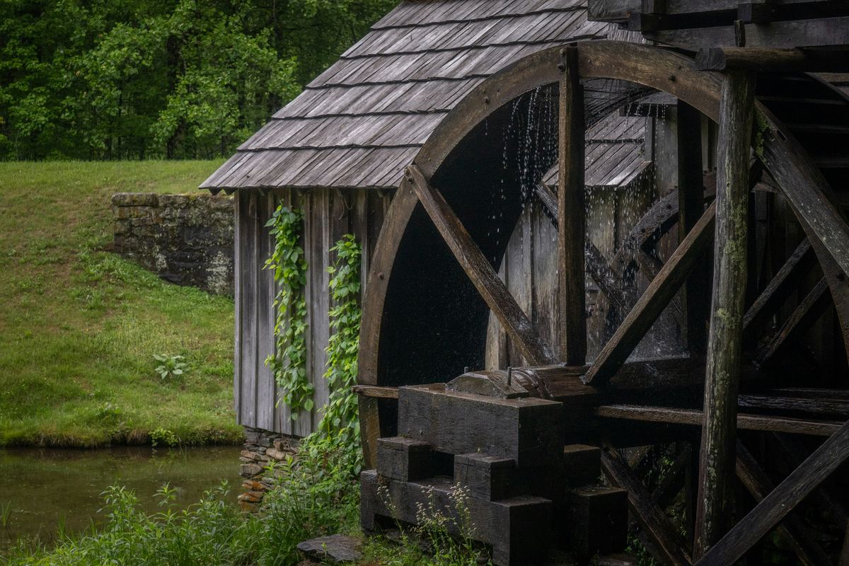
Mabry Mill waterwheel and pond.
Mabry Mill
A restored 1900s mill and waterwheel on the Virginia section with a restaurant and short interpretive trail. One of the most photographed spots on the Parkway.
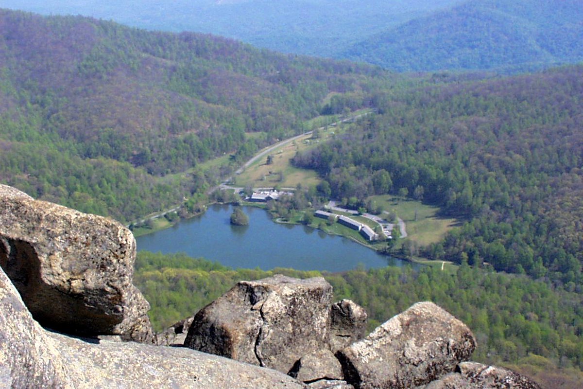
Abbott Lake and the Peaks of Otter lodge viewed from Sharp Top.
Peaks of Otter and Sharp Top
A Virginia hub with a lodge, a lake and hiking trails to Sharp Top and Flat Top. Check the current closure before planning around it.
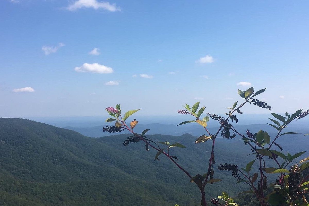
Forested ridges seen from the Blue Ridge Parkway.
Doughton Park
Broad meadows and long ridge trails near Blowing Rock and Boone.
Linn Cove Viaduct curving around Grandfather Mountain.
Linn Cove Viaduct
A curved concrete viaduct skirting Grandfather Mountain, one of the Parkway’s engineering highlights. Park at the nearby visitor center area if open.
Sunset over mountain ridges viewed from Craggy Gardens.
Craggy Gardens
High-elevation heath balds with views, near MP 364.5. Check the closure at MP 344–355 and tunnel heights first.
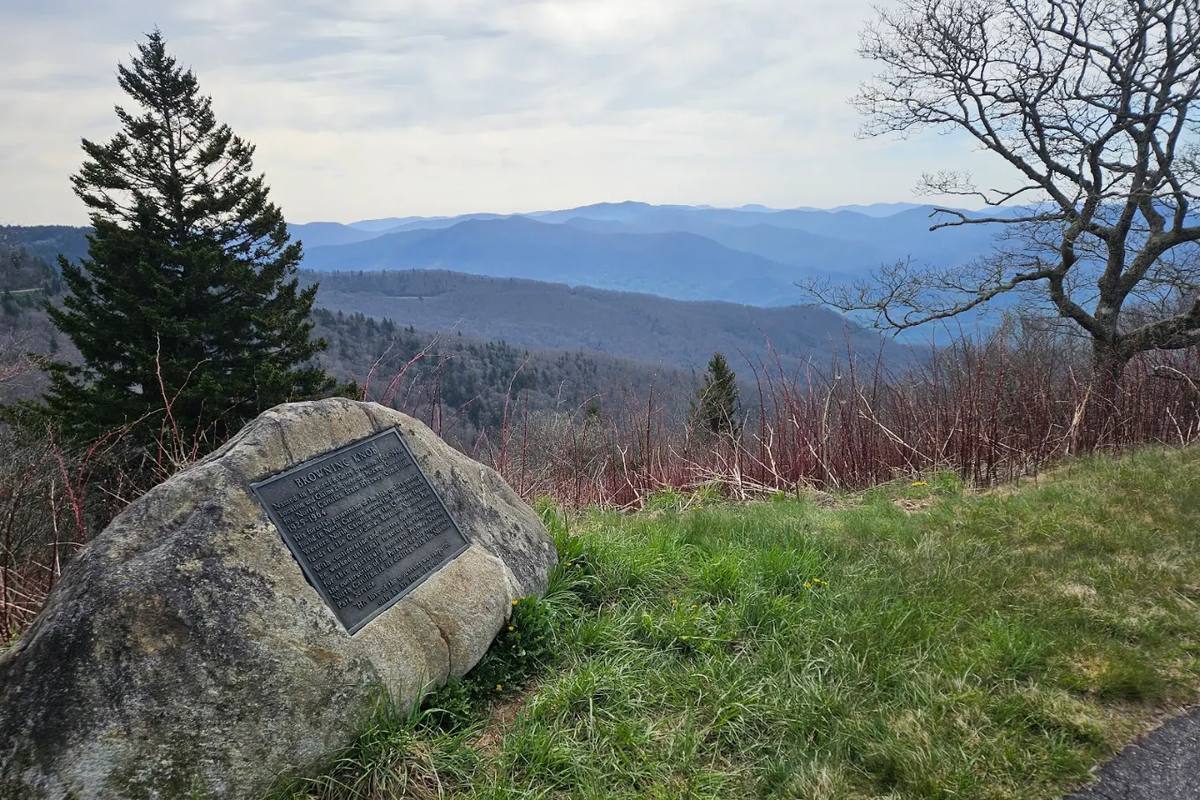
A Parkway overlook with long mountain views.
Waterrock Knob
A high overlook near MP 451. Some RVers park the rig here or nearby and use a tow vehicle to pass the low tunnels between Waynesville and Cherokee.
Getting around with a big rig
Check the closure page every drive day. Conditions change within hours. NPS’s road-status page showed the 7:35 a.m. October 13, 2026 snapshot we used, and it warns that status can change throughout the day.
Know your height and write it on the dashboard. Compare it with the tunnel table before entering a section. If a tunnel doesn’t fit, detour; don’t cross the center line.
Drive slowly and use low gear. Large RVs are slow on steep grades. Use overlooks to let faster traffic pass, and brake gently on long descents.
Start early on weekends in October. Fall-color traffic can build, and overlook parking fills.
Fuel, groceries, water and repairs
The Parkway has limited services. Plan fuel, groceries and propane in towns such as Roanoke, Boone, Blowing Rock, Asheville and Waynesville. The Parkway’s Gas/EV availability page lists current fuel stops.
Dump stations are available at the NPS campgrounds; non-campers pay $6. Shower facilities are at Julian Price and Mount Pisgah.
Budget snapshot
The Parkway has no entrance fee. Camping is the main cost, and private campgrounds cost more but include hookups.
Item
What we found
Note
Parkway driving
No entrance fee
Fuel is the main cost.
NPS first-come campsite
$30 per night
No hookups. Group camping $45 per night.
Showers and dump station for non-campers
$6
At campgrounds with facilities.
Reservations
Recreation.gov up to six months ahead
Fees may apply; check the site record.
Private campground
Request a quote
We did not verify specific parks or rates.
Fees are the amounts listed by the managing agency when this guide was checked. Use the budget worksheet to add fuel, groceries and contingency.
Common questions
Can I drive my RV on the Blue Ridge Parkway?
Yes, with limits. Commercial vehicles are prohibited, and the road has 26 tunnels, steep grades and a mostly 45 mph speed limit. Know your height and check closures before each drive.
Which tunnels are lowest?
Big Witch (MP 461.2) is 11 ft 7 in at the edge line, Lickstone Ridge (MP 458.8) is 11 ft 8 in and Bunches Bald (MP 459.3) is 12 ft 3 in. They sit between Waynesville and Cherokee, North Carolina.
Are there hookups on the Parkway?
Not at the eight NPS campgrounds. They have water and dump stations but no electric or sewer. Private campgrounds near the Parkway typically offer full hookups.
Is the Parkway fully open after Helene?
No. As of October 13, 2026, there were closures in Virginia and North Carolina, including MP 344.2–355.3. NPS estimated road recovery would finish by the end of 2026. Check the live road-status page.
Which half is easier for a tall RV?
Virginia. Only one of the 26 tunnels, Bluff Mountain at MP 53.1 (13 ft 1 in edge line), is there. The lower clearances are in North Carolina.
How far ahead should I book?
Recreation.gov opens up to six months ahead. First-come sites are usually easier on weekdays, and October weekends are busy.
Sources and what to recheck
Checked October 14, 2026, using the October 13 closure snapshot. Closures change often; the live NPS page is the source of truth.